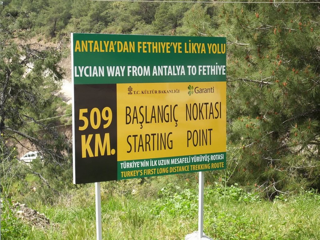
The Lycian Way begins near Oludeniz (Fethiye) and ends in Geyikbayiri just before Antalya, taking in choice mountain landscapes and seascapes en route. It follows 540 kms of ancient footpaths and mule roads that linked the villages of the Turquoise Coast. What really distinguishes this walk is its intimate, almost careless relationship with history. Lycia, in particular enjoyed a period of ascendancy and unique culture before falling into the hands of Alexander the Great’s successors and then the Romans. Later, Arabs, Crusaders and Genoese established themselves there. Traces of all these hands are visible still, and nowhere more so than along this path, their romance and charm enhanced by the old stones lying naturally among the scrub.
The Lycian Way is marked with red and white stripes, and the Sunday Times has listed it as one of the world's top ten walks.
It takes its name from the ancient civilisation, which once ruled the area.
Places along the trail include:
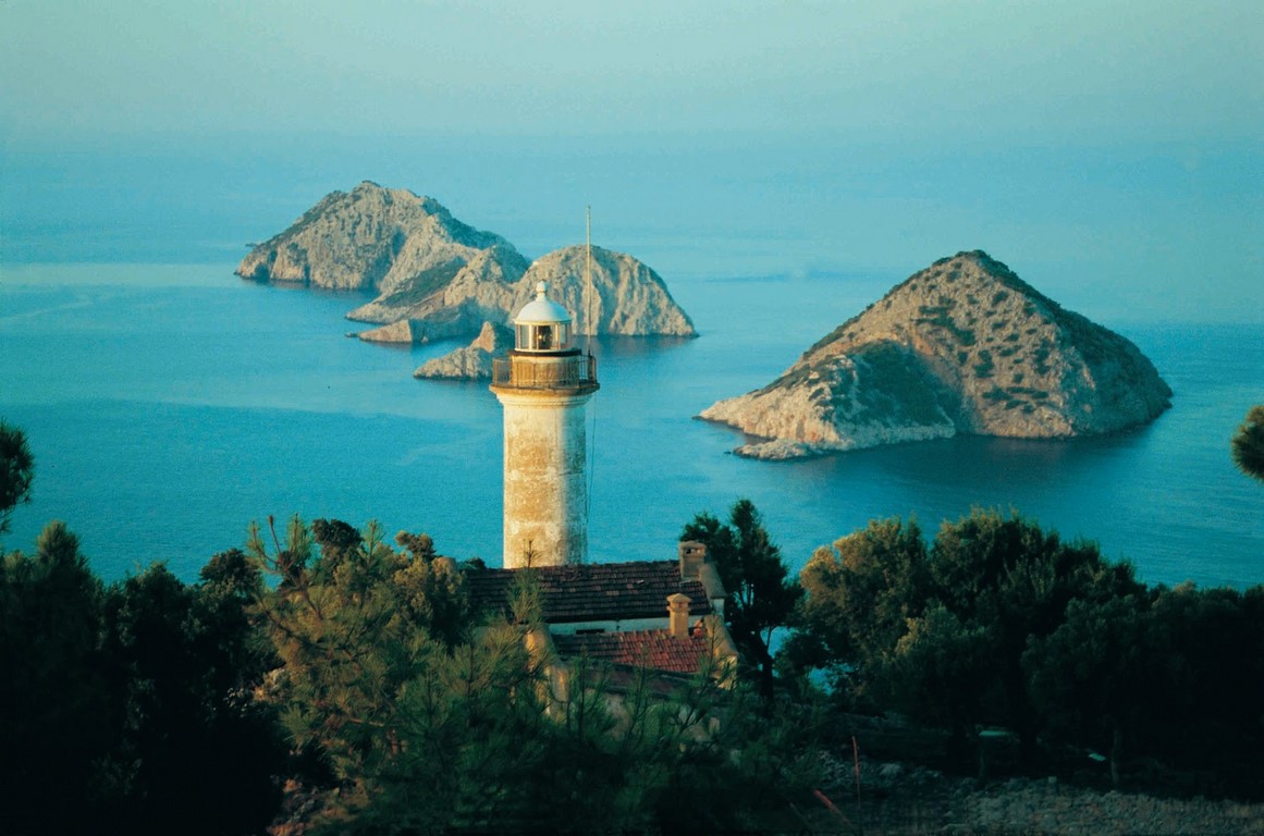
Ölüdeniz, Faralya, Kabak, detour to Sidyma, Bel, Gavurağılı, Letoon, Kınık (Xanthos), Akbel, Gelemiş village andruins of Patara), Kalkan, Sarıbelen, Gökçeören, Kaş (Antiphellos), Üçağız, Kale, Demre (Myra), Kumluca, Belören, Zeytin and Alakilise. Here the trail reaches a height of 1811 meters at İncegeriş T. It continues to Belos, Finike, Kumluca, Mavikent, Karaöz, the southernmost point of Lycia at the lighthouse of Cape Gelidonya. Here it turns north to Adrasan, Olympos, and Çıralı.
The Ultramarathon
Since 2010, an international multi day train running ultramarathon, called Lycian Way Ultramarathon, is held on the historical way. The event runs eastwards on a route of around 220–240 km (140–150 mi) from Ölüdeniz to Antalya in six days.